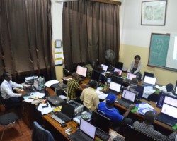
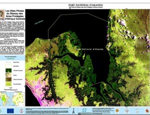
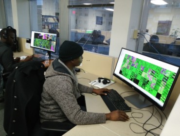
He has followed several training courses in Remote Sensing, Biodiversity Management and GIS in the United States of America at the University of Maryland, Department of Science and Geography and at the World Resource Institute (WRI). He has also obtained several certificates from NASA - USA for capacity building trainings in Remote Sensing, Bushfire Management, Forest Biomass Quantification and Biodiversity Management.
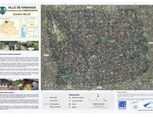
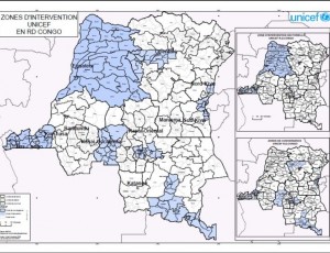
From 2012 to 2019, he works as a GIS and Remote Sensing Consultant for various international organizations based in the Democratic Republic of Congo, including USAID, Transtec SA, Ressource Matters, Moabi project, USFS, NCBA CLUSA International, Rain Forest Foundation UK, European Union. In October 2013, he joined OSFAC as a full time employee through GIS and Remote Sensing Assistant and then from 2016 to date as Senior GIS and Remote Sensing Expert.


