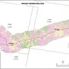
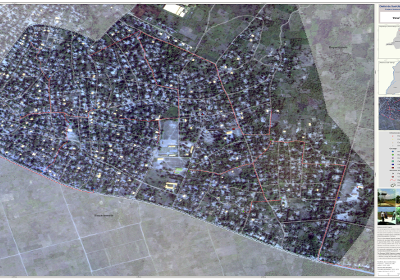
This report presents the results of activities conducted to carry out the AEP mapping work.
In order for OSFAC to achieve the work objective, the below work flow was followed:
- Existing data inventory;
- Satellite data acquisition;
- Field data collection;
- AEP network data analysis and mapping.
Documents & Maps
- Final report (EN) (PDF, 2.30 MB)
- Final report (FR) (PDF, 959 KB)
- Map Gemena (PDF, 4.40 MB)
- Map Saza (PDF, 7.93 MB)


