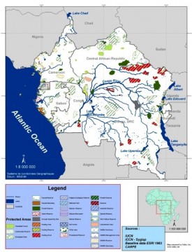
RAPAC sites
Project description
Main objective
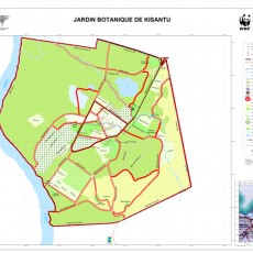
- Develop a geographic database with achieving spatial maps of protected areas of RAPAC
Specific objectives
- Create vector files of RAPAC sites
- Produce spatial georeferenced maps
Methodology
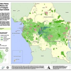
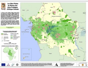
- Production of a general map
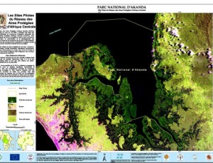
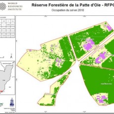
- Production of thirty maps of protected areas
- Printing of maps performed
Partners
- RAPAC, WRI, OSFAC
Duration : 3 Months
Results
- General map of RAPAC sites
- Maps of each RAPAC site
- Vector files of RAPAC sites
Field hunting and reserve of Bombo Lumene
Project description
Main objective
- Develop a geographic database of Bombo Lumene
Specific objectives
- Compilation and pre-processing of Landsat imagery
- Collection of GPS points on field
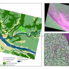
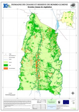
- Production of a general map of the area / reserve
- Production of thematic maps
- Implementation of the sampling plan
- Statistical processing and spatial analysis
Methodology
- The method used is the "Wall-to-Wall", a method developed jointly by the American universities of South Dakota and Maryland in the CARPE program.
Partners
- OSFAC, Nature+, ICCN, WCS, WWF
Duration : 2 Months
Results
- General map of the area / reserve
- Thematic maps
Strategic assessment of biodiversity in DRC
Project description
Main objective
- Identify and define priority areas of high biodiversity to increase by 15% conservation areas in the DRC
Specific objectives
- Locate sites of high biodiversity
- Delineate areas of high priority, high, low and corridor
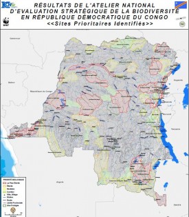
- Produce the map of priority sites
Methodology
- Discussion on the identification and delineation of conservation areas in concert with national and international experts
- Mapping of areas of high conservation potential
Partners
- WWF, ICCN, MECNT, OSFAC
Duration : 3 Days
Results
- Map of priority areas
Protected areas and Species
Project description
Main objective
- Conduct a mapping of protected areas of the Congo Basin
Specific objectives
- Integrate protected areas newly approved
- Produce a map of protected areas of the Congo Basin
- Produce a poster of endangered species
Methodology
- Identification and localization of Protected Areas
- Mapping of protected areas
Partners
- WWF, OSFAC
Duration : 3 Months
Results
- Maps of protected areas in DRC
- Maps of protected areas in the Congo Basin
- Displays endangered species
Biodiversity
- Nov 19 2014
RAPAC sites, Field hunting and reserve of Bombo Lumene, Strategic assessment of biodiversity in DRC and Protected areas and Species
0


