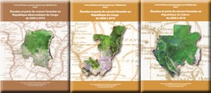
FACET publications are the result of an analysis by OSFAC which was used to map the extent of forest cover and changes in Central Africa.
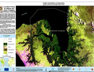
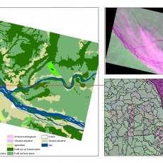
The method used is the "wall-to-wall", a method developed jointly by the universities of South Dakota and Maryland. It is an adaptation of the approach of Hansen et al. (2008). MODIS Satellite data (Moderate Resolution Imaging Spectroradiometer) were used to pretreat the Landsat series, themselves used to characterize the extension and the loss of the forest cover. Landsat ETM + data were sampled at a spatial resolution of 60 meters. Mapping the extent and loss of forest cover by Landsat is severely limited to areas permanently covered by clouds. MODIS data were used to overcome this problem. The forest was defined as a space occupied by trees over 5 meters in height and having a canopy density of above 30%.
Primary forest is defined as a mature forest with a canopy density of above 60%. Secondary forest is a forest that has delayed and whose canopy covers more than 60% of the soil surface. A wood (woodland) is characterized by a density of forest cover between 30% and 60%. The swamp forest is defined as a primary forest located on a wetland. Wetlands are lands transitional between terrestrial and aquatic systems where the water table is usually at or near the surface or where the land is covered by shallow water, regardless of vegetation cover. Permanent water bodies were mapped separately.


