Webinar about Large Scale Monitoring and Land Cover and Land Use
- News & Stories
- 24 Feb 2025
We would like to invite you for a webinar about Large Scale Monitoring and Land Cover and Land Use next Thursday Feb 27th from 2 to 4 pm presented by the team of MapBiomas, a Network of local scientists and organizations working that are producing free and open source historical annual of land cover and land use maps in 14 countries through South America and Indonesia.

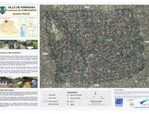
Flooding and Erosion in Kinshasa - Open Cities Kinshasa Project, World Bank
- News & Stories
- 02 Apr 2020

Multimedia story on technology and conservation
- News & Stories
- 19 Dec 2018
“Paper to pixels” focuses on how tech-based conservation tools are finally infiltrating and helping to unlock the secrets of the Congo’s forests. This piece focuses on the work of WRI and WCS – specifically the work they are doing with the Forest Atlases and SMART, respectively.


