Water System of Gemena Mapping
- Completed Projects
- 29 Mar 2018
As part of World Vision's goal of supplying the territory of Gemena, South Ubangi District with drinking water, the Observatoire Satellital des Forêts d’Afrique Centrale (OSFAC) has been identified to map the Supply of Potable Water Network (AEP) in two villages, SAZA and Gemena III.
Participative Mapping
- Completed Projects
- 24 Aug 2016
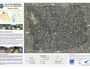
Contribution OSFAC au volet Cartographique Participative du Projet mode de Gestion des Forêts Communautaires
Dans le cadre du projet « Mode de gestion des forets des communautés locales en contribution à la réduction de la pauvreté en RDC », OSFAC a apporté son expertise en cartographie et Systèmes d'Information Géographique. Les Experts SIG de l’OSFAC chargés de réaliser ce travail étaient composés de Marcelline Ngomba Ndekelu et Alphonse Wala Etina. Le présent rapport fait la synthèse des travaux réalisés. - Territoires : Mambasa, Basankusu et Tshela -
Support EO-driven forest and carbon monitoring in Central Africa for REDD – REDDiness
- Completed Projects
- 18 Nov 2014
As part of international efforts to combat global warming, preserving Africa's forest is a part of the solution to the climate change challenge. Reducing Emissions from Deforestation and forest Degradation (REDD) negotiations for climate change mitigation aim to better manage our global forest resources.
Quantifying carbon stocks and emissions in the forests of the Republic of Congo
- Completed Projects
- 18 Nov 2014
The Republic of Congo is committed to participate in a REDD+ mechanism. It has prepared and submitted a REDD+ Readiness Plan for approval and support.


