Congo Rivers
Project description
Main objective
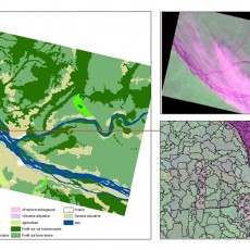
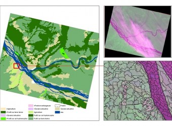
- Produce a map of land along the Congo River between Kisangani and Mbandaka
Specific objectives
- Validate the classifications made by segmentation
- Identify the types of changes
Methodology
- SPOT satellite data processing
- Analysis of the classifications made by segmentation
- Allocation of land classes
- Definition of the types of changes
Partners
- UCL, OSFAC, IGC, RVF
Duration : 2 Months
Results
- Classes of land use plans
- Types of changes identified
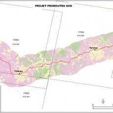
Pro-Routes
Project description
Main objective
- Study of the environmental impact of road projects in the DRC
Specific objectives
- Make an inventory of roads rehabilitated
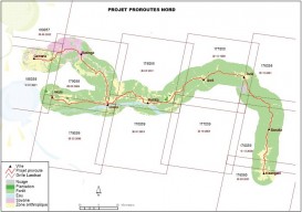
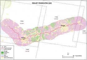
- Mapping the land use along these roads
- Have a geographic database of the road
Methodology
- Compilation and pre-processing of Landsat imagery
- Classification and analysis of land use
- Production of spatio-maps
Partners
- Pro-Routes / Office des Routesproroute sud
- Banque Mondiale
- AGRECO
- Cellule Infrastructure
Duration : 2 Months
Results
- Classification of areas of interest of the project
- Spatial maps of areas of interest
- Final report of the study
Forest reserve of Patte d’oie – Brazzaville
Project description
Main objective
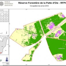
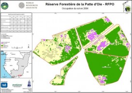
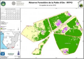
- Due to the extension of the city of Brazzaville, the area of the Forest Reserve Patte d'Oie decreases. The objective is to make an inventory showing the evolution of land use in recent years
Specific objectives
- Make a diachronic study of the Forest Reserve Patte d'Oie
- Mapping the land use between 2004 and 2010
Methodology
- Digital processing of satellite images
- Thematic and statistical classifications
Partners
- Ministère de l’Economie Forestière et de l’Environnement de la République du Congo, OSFAC, WRI, SDSU, Winrock Intenational, Imazon
Duration : 1 Month
Results
- The plan of Patte d'Oie is made
- Land use maps (2004 and 2010) are produced
Landcover and Landuse
- Nov 19 2014
Congo Rivers, Pro-Routes and Forest reserve of Patte d’oie – Brazzaville.
0


