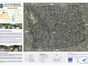
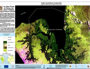
OSFAC currently has a database of images from various satellites, satellite images with different with varying spatial and temporal resolution, covering the entire Congo Basin.
OSFAC's database contains more than 55,000 images, over 13 TB of imagery : Landsat (1972-2014), ASTER (2000-2011), SRTM (2000), Landsat Mosaics (2004-2005), ASTER GDEM (2009), RADARSAT MOSAIC, Quickbird (2008-2009), Controlled Image Base (CIB), IKONOS, WordView1, EarthSat Natural Vue (Landsat 7-derived mosaics).As there is often low internet connectivity and low bandwidth in the region, OSFAC continues to ensure physical distribution of these images in the subregion to any enterprise or person interested in using them. As the number of requests, number of images and size of the database have continually risen, OSFAC developed a tool, OSFAC-Data Management Tool (developed in Java and using a MySQL database) to facilitate archiving of newly acquired images, to help management of online data requests, to facilitate searching and exportation of images and produce distributed images statistic.
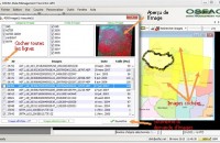
OSFAC-DMT allows users to interactively request satellite images from OSFAC's database. The request results are displayed in a table with the option to display quicklooks of the selected images. Once the selection is made, the tool sends the request directly to the OSFAC database administrator for data preparation. A confirmation email is sent to the requester and he should physically received the requested images at OSFAC offices.
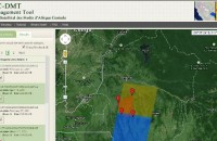
OSFAC-DMT is available in two versions:


