Items filtered by date: November 2025
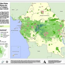
Support EO-driven forest and carbon monitoring in Central Africa for REDD – REDDiness
As part of international efforts to combat global warming, preserving Africa's forest is a part of the solution to the climate change challenge. Reducing Emissions from Deforestation and forest Degradation (REDD) negotiations for climate change mitigation aim to better manage our global forest resources.
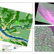
Quantifying carbon stocks and emissions in the forests of the Republic of Congo
The Republic of Congo is committed to participate in a REDD+ mechanism. It has prepared and submitted a REDD+ Readiness Plan for approval and support.
Moabi DR Congo
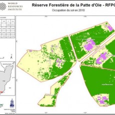
Moabi DRC is a collaborative mapping initiative that aims to increase transparency and accountability on resource issues in DRC. It’s part of the project, Improving Forest Governance through independent monitoring in the Democratic of Congo - a multi-partner project building the institutions and tools necessary to independently monitoring natural resources across DRC.
Other services
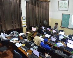
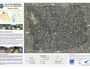
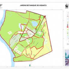
Due to OSFAC’s significant experience in the area of cartography and remote sensing, it is common for OSFAC to receive requests for a wide variety of “other services”. Typically, these are services that do not directly fall into our primary activities, but are within our area of interest or expertise, such as installing cartography labs, carrying out surveys on available spatial data, creating methodologies for various data collection initiatives, working to build databases and establish monitoring protocols, etc.


