Items filtered by date: November 2025
Sunday, 16 November 2014 01:00
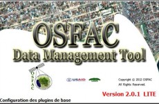
OSFAC-DMT Desktop
OSFAC-DMT Desktop is a tool which allows you to make and manage requests for satellite images with OSFAC database interactively. In other words, it allows you to post a request for satellite images remotely (from your computer) and the request is automatically sent to the administrator of OSFAC's database via internet.
Sunday, 16 November 2014 01:00
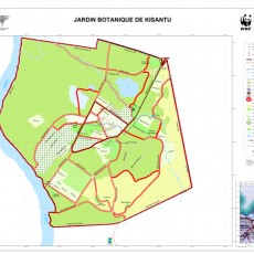
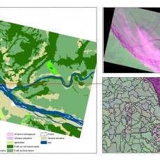
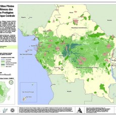
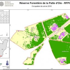
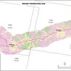
Mapping services
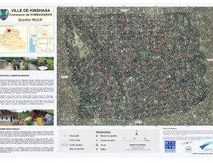
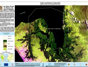
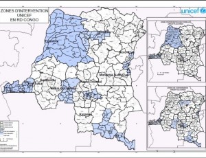
As part of its activities to promote the use of satellite data and related mapping techniques in improved natural resource management and sustainable development, OSFAC is available to provide technical assistance in GIS and remote sensing.
Saturday, 15 November 2014 12:59
Annual Report

Friday, 14 November 2014 09:36
Fixed Obligation Grant I
In recent years, OSFAC has worked with its partners, the DRC Ministry of Forests and Environment, USAID-CARPE, NASA, University of Maryland (UMD) and South Dakota State University (SDSU) to provide data, tools and capacity for satellite based monitoring of the Congo Basin forests.


