Carbon Map & Model
Avec l'appui de l'Initiative Internationale pour le Climat (ICI) du Ministère Fédéral Allemand de l’Environnement, de la protection de la Nature et de la Sécurité Nucléaire (BMU), la Banque de Développement KFW, le projet Carbon Map and Model (CM&M) de Fond Mondial pour la Nature « WWF» a pour objectif principal la réalisation de la carte de carbone forestier de la R.D Congo en combinant les données LiDAR, d'inventaires forestiers et les images satellitaires. Cette carte permettra d'évaluer quantitativement le taux de biomasse forestière en RD Congo pour appuyer le programme national de la REDD+.
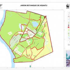
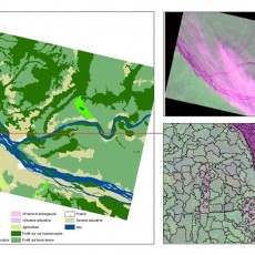
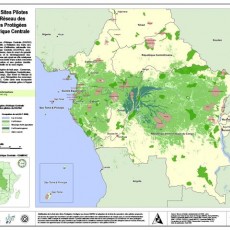
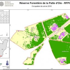
Mapping services
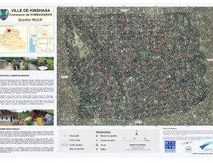
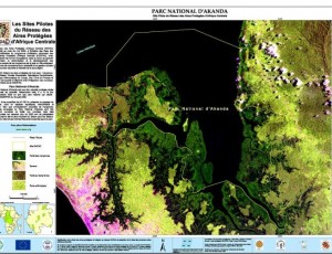
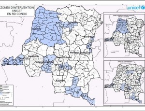
As part of its activities to promote the use of satellite data and related mapping techniques in improved natural resource management and sustainable development, OSFAC is available to provide technical assistance in GIS and remote sensing.
Other services
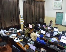
Due to OSFAC’s significant experience in the area of cartography and remote sensing, it is common for OSFAC to receive requests for a wide variety of “other services”. Typically, these are services that do not directly fall into our primary activities, but are within our area of interest or expertise, such as installing cartography labs, carrying out surveys on available spatial data, creating methodologies for various data collection initiatives, working to build databases and establish monitoring protocols, etc.


