Super User
Forêts d’Afrique Centrale Evaluées par Télédétection
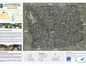
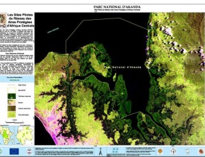
These atlas were produced as a part of the OSFAC initiative “Monitoring the forests of Central Africa using remotely sensed data sets” (FACET in French). FACET is led by OSFAC in collaboration with South Dakota State University and the University of Maryland, and supported by USAID CARPE. Additional support was provided by World Resources Institute.
Satellite images
OSFAC maintains a database of satellite imagery for the Congo Basin and distributes this data upon request. The database contains images of varying resolution and is primarily comprised of LANDSAT, ASTER, ASTER GDEM, SRTM, SPOT and LANDSAT MOSAICS images from 1972 to 2014. Data is available in electronic format through the OSFAC office in Kinshasa, DRC and OSFAC focal points. There is no charge for any data distributed through OSFAC, however some data availability is subject to applicable data sharing regulations. For additional information on specific data sharing conditions, please contact us.
Annual Report


