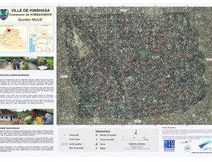
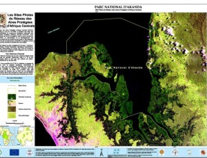
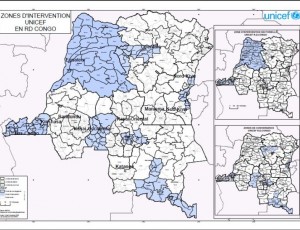
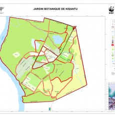
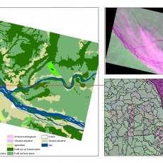
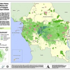
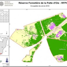
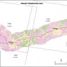
As part of its activities to promote the use of satellite data and related mapping techniques in improved natural resource management and sustainable development, OSFAC is available to provide technical assistance in GIS and remote sensing. These mapping services are provided upon request and may include a wide range of applications or products. The costs and details of each project are determined through discussions between OSFAC and the requesting party. Examples of OSFAC projects and products are provided below. If you are interested in discussing a future project with OSFAC, please contact us.
Other services
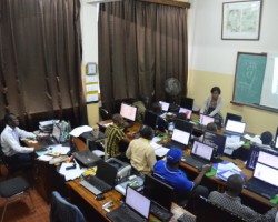
Due to OSFAC’s significant experience in the area of cartography and remote sensing, it is common for OSFAC to receive requests for a wide variety of “other services”. Typically, these are services that do not directly fall into our primary activities, but are within our area of interest or expertise, such as installing cartography labs, carrying out surveys on available spatial data, creating methodologies for various data collection initiatives, working to build databases and establish monitoring protocols, etc.


