ArcGIS Level I
GIS
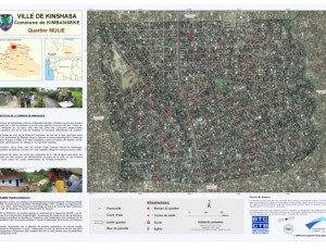
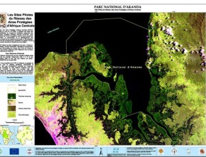
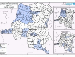
This course covers the fundamentals of ArcGIS Desktop software and explains how to use to view, create, manage and analyze geographic data. Over the years, ArcGIS tools are used to perform common tasks in a work process in a GIS. At the end of this course, the learner will be known range of software features and ArcGISDesktop can use it by itself to produce GIS maps, manipulate geographic data and perform GIS analysis.
Content
- Overview of GIS
- Basics of ArcGIS
- Applications ArcMap, ArcCatalog, ArcToolbox
- Working with Spatial Data
- Data Presentation / Layout
- Projection vector features
- Creation and updating of vector features
- Work with tabular data (descriptive attributes)
Prerequisite: Knowledge of basic concepts of GIS and minimal comfort in the Windows environment.
- Reference Nr.:
- GIS002
- Experience Level:
- Medium
- Group:
- Default Group


