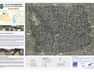
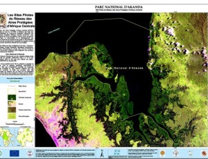
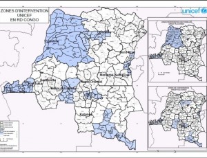
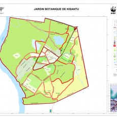
Introduction GIS
GIS
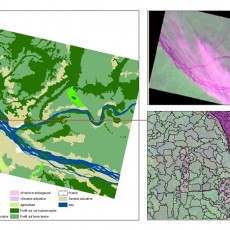
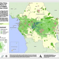
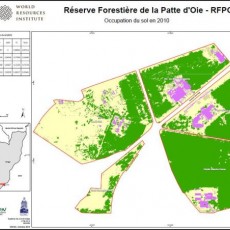
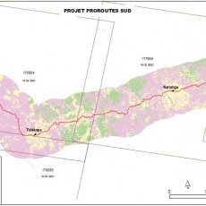
The objective of the training is to provide the learner with the essential knowledge base and to familiarize the key concepts used in GIS. It is intended for people with no particular knowledge of Geomatics and wishing to familiarize themselves with GIS tools. Rich in theory, this course focuses on examples and demonstrations.
Content
- History of digital mapping and GIS
- Main areas of application of GIS
- What is geographic information? : Basic element, layer, attribute, ...
- Basic concepts of GIS components, principle, role and contributions of GIS
- Data GIS: Reality Modeling in a GIS (raster and vector models)
- Representation of a layer in a GIS and link mapping: entity types, symbolization, units, projections, ...
- Major databases of market data, their products (content, accuracy, ...)
- Selections using query syntax, sequence of selections, representation, extraction of statistics ...
- Modeling a database: the notion of conceptual data model and data dictionary
- Implementation of a GIS: the steps of design, implementation and maintenance of a spatial database
Prerequisites: A minimum of comfort in the Windows environment.
- Reference Nr.:
- GIS001
- Experience Level:
- Beginner
- Group:
- Default Group


