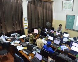
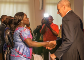
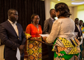
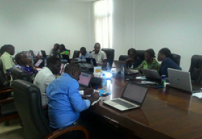
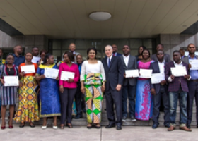
The Minister of the Environment and Forest Economy of the Republic of Congo and the Ambassador of the United States proceeded to the delivery of training certificates after the training conducted by OSFAC in Brazzaville from 9 to 18 October 2017 on the initiative of USFS under the USAID/CARPE Program.
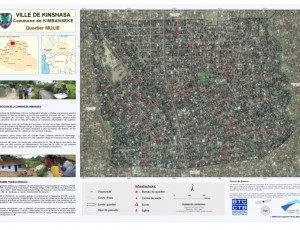
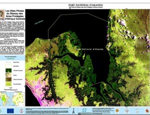
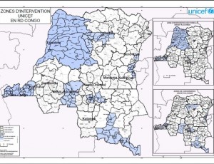
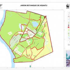
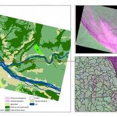
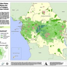
The overall objective of this training was to train twelve agents of CN-REDD and CNIAF in Remote Sensing (advanced level) on ArcGIS, ENVI, Collect Earth and to improve national capabilities in satellite imaging, image processing and multi-criteria spatial analysis.
The specific objectives :
- better understand the importance of the raster data preprocessing step;
- explore the advantages of different satellite image classification techniques (supervised & unsupervised, segmentation and decision tree);
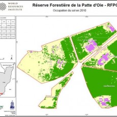
- analyze spatial changes and land-cover type conversion;
- perform the validation through the Collect Earth tool and the evaluation of the accuracy of the classifications results (calculation of the confusion matrix, the Kappa coefficient, etc.);
- develop decision models using GIS through the multicriteria analysis tools for multiple option evaluation;
- understand the use of the Python programming language in geo-processing on ArcGIS.
Photos (certificates delivery)


