Super User

Super User

As part of international efforts to combat global warming, preserving Africa's forest is a part of the solution to the climate change challenge. Reducing Emissions from Deforestation and forest Degradation (REDD) negotiations for climate change mitigation aim to better manage our global forest resources.

Tuesday, 18 November 2014 01:00

Carbon Map & Model

Avec l'appui de l'Initiative Internationale pour le Climat (ICI) du Ministère Fédéral Allemand de l’Environnement, de la protection de la Nature et de la Sécurité Nucléaire (BMU), la Banque de Développement KFW, le projet Carbon Map and Model (CM&M) de Fond Mondial pour la Nature « WWF» a pour objectif principal la réalisation de la carte de carbone forestier de la R.D Congo en combinant les données LiDAR, d'inventaires forestiers et les images satellitaires. Cette carte permettra d'évaluer quantitativement le taux de biomasse forestière en RD Congo pour appuyer le programme national de la REDD+.

Sunday, 16 November 2014 01:00

Mapping services

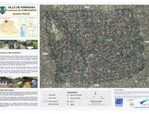
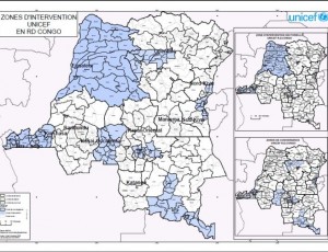
As part of its activities to promote the use of satellite data and related mapping techniques in improved natural resource management and sustainable development, OSFAC is available to provide technical assistance in GIS and remote sensing. 

Sunday, 16 November 2014 13:47

Other services

Due to OSFAC’s significant experience in the area of cartography and remote sensing, it is common for OSFAC to receive requests for a wide variety of “other services”. Typically, these are services that do not directly fall into our primary activities, but are within our area of interest or expertise, such as installing cartography labs, carrying out surveys on available spatial data, creating methodologies for various data collection initiatives, working to build databases and establish monitoring protocols, etc.

Sunday, 16 November 2014 09:03

Balance training from 2005 to 2010

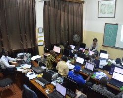
Since its inception, OSFAC provides Capacity building countries of Central Africa in Geographic Information Systems (GIS), Remote Sensing and GPS as well as technical support to all institutions that request. 869 persons, separately, from the universities (mainly the University of Kinshasa where the GIS Laboratory OSFAC is installed), national agencies, CARPE partners and international agencies have benefited from one or more training sessions with the OSFAC.

Sunday, 16 November 2014 08:19

Internships

OSFAC runs a competitive internship program in GIS and remote sensing, which accepts a limited number of both academic and professional interns. Interns are accepted in a revolving fashion based on the availability of positions and are based at the OSFAC GIS/RS lab at the University of Kinshasa. The length of internships is determined individually by OSFAC depending on the intern’s proposed objectives. All OSFAC internships are unpaid.

Friday, 14 November 2014 09:30

Training modules & pricing tables

Introduction to GIS

$500

per 3 days

  • History of digital mapping and GIS
  • Main areas of application of GIS
  • What is geographic information? (?)
  • Basic concepts of GIS components, ... (?)
  • Data GIS: Reality Modeling in GIS (?)
  • Representation of a layer in a GIS ... (?)
  • Major databases of market data, ... (?)
  • ...

Introduction to ArcView

$750

per 5 days

  • Introduction to GIS (?)
  • Introduction to ArcView 3
  • Management of vector data
  • Extensions of Arcview 3
  • Presentation of information / Layout
  • Tabular data management
  • Creating and editing vector data
  • -

ArcGIS Level I

$800

per 5 days

  • Overview of GIS
  • Basics of ArcGIS
  • Applications ArcMap, ArcCatalog, ... (?)
  • Working with Spatial Data
  • Data Presentation / Layout
  • Projection vector features
  • Creation and updating of vector features
  • Work with tabular data (descriptive attributes)

Remote Sensing Level I

$1,250

per 5 days

  • Introduction to Remote Sensing
  • Active and passive remote sensing
  • ERDAS / ENVI Menu Toolbar
  • Opening and viewing an image
  • Import generic formats of images
  • Combination of bands
  • Colored composition
  • Make a mosaic
  • ...

Introduction to GPS

$200

per 2 days

  • Introduction to GPS
  • Operation
  • Field applications
  • GPS coordinates recovery
  • ...


Sunday, 16 November 2014 01:00

OSFAC-DMT Desktop

 OSFAC-DMT Desktop is a tool which allows you to make and manage requests for satellite images with OSFAC database interactively. In other words, it allows you to post a request for satellite images remotely (from your computer) and the request is automatically sent to the administrator of OSFAC's database via internet.

Sunday, 16 November 2014 01:00

Training : General information

One of the main activities of the Observatoire Satellital des Forêts d'Afrique Centrale (OSFAC) is capacity building in the use of satellite data and mapping techniques for the sustainable management of natural resources.

Friday, 14 November 2014 02:00

FACET Gabon

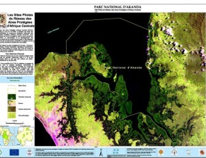
This atlas was produced as a part of the OSFAC (Observatoire Satellital des Forêtsd'AfriqueCentrale) initiative “Monitoring the forests of Central Africa using remotely sensed data sets” (FACET in French).

bottom banner2
welcome banner