Super User
Friday, 14 November 2014 04:00
FACET Congo
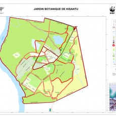
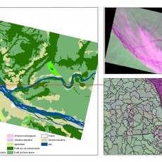
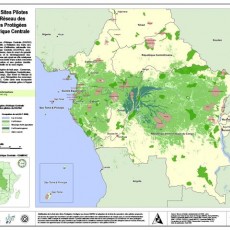
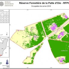
This atlas was produced as a part of the OSFAC (Observatoire Satellital des Forêtsd'AfriqueCentrale) initiative “Monitoring the forests of Central Africa using remotely sensed data sets” (FACET in French).
Tagged under
Friday, 14 November 2014 04:00
FACET DR Congo
This atlas was produced as a part of the OSFAC (Observatoire Satellital des Forêts d'Afrique Centrale) initiative “Monitoring the forests of Central Africa using remotely sensed data sets” (FACET in French).
Tagged under
Sunday, 16 November 2014 01:00
OSFAC-DMT
One of OSFAC's main activities is to disseminate, free of charge, satellite images and derivatives throughout the Congo Basin received from its partners such as NASA, USGS and USFS.
Tagged under


