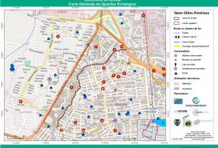
The Open Cities Kinshasa project was executed by the Observatoire Satellital des Forêts d'Afrique Centrale (OSFAC) and Potential 3.0. Its objective was to develop tools to enable key stakeholders, mainly decision-makers, to use information on natural disaster risks and thus better meet the challenge of managing urban growth while strengthening the resilience of the population to natural hazards and the impacts of climate change.
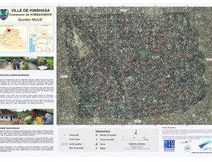
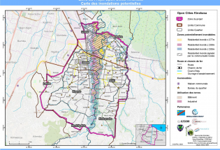
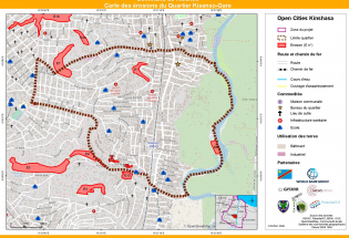
In the end, the Open Cities Kinshasa project produced relevant and reliable results, among others : (1) a database containing geospatial information on the physical environment, buildings, infrastructure (health, schools/universities, places of worship), roads, drainage network, occupation and use of space, floods and erosion; (2) a range of 240 maps that differ from each other by their theme (general, flood or erosion), by their coverage (project area, municipality or neighbourhood) or by their format (A0, A1 and A4); (3) an Atlas with more than a hundred thematic maps on erosion areas and potentially floodable areas in 8 communes and 70 neighbourhoods.
Images


