jeudi, 20 novembre 2014 01:00
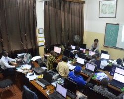
Renforcement des capacités
Tags:
jeudi, 20 novembre 2014 01:00
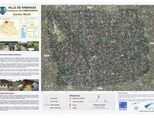
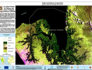
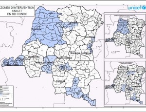
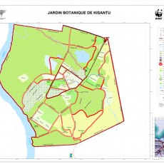
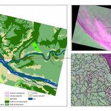
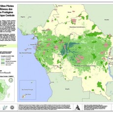
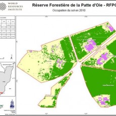
Cartographie thématique et données spatiales
Participatory mapping of the project “Mode de gestion des forêts communautaires”, UNFPA project, Localisation of intervention sites of PMURR, Inventory of geospatial data in Central Africa, Inventory of geospatial data in DR Congo.
Tags:
jeudi, 20 novembre 2014 01:00
Services Cartographiques
Dans le cadre de ses activités, OSFAC est disposé à fournir son assistance technique en SIG et télédétection pour vulgariser l'usage des données satellites et les techniques cartographiques associées à une meilleure gestion des ressources naturelles et un développement durable.
Tags:


